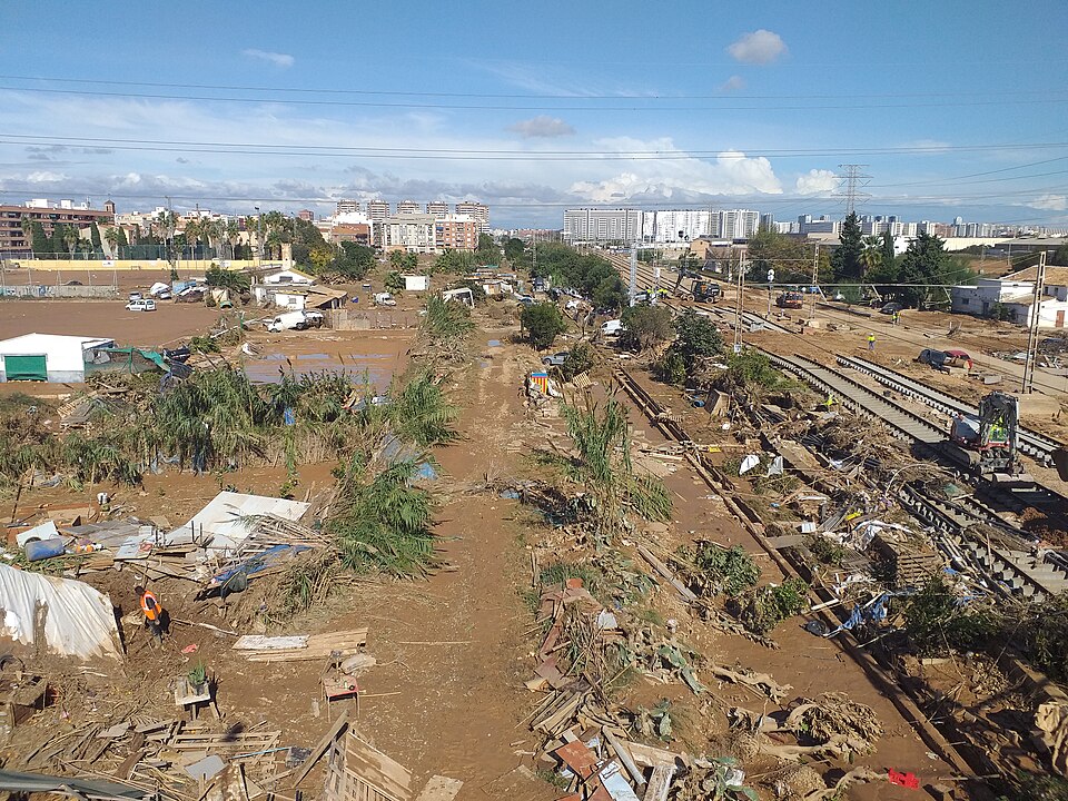

Lots of rain and flooding from tropical cyclones cause many deaths and economic damage worldwide. We have looked into how accurate our data and analysis are in showing trends in rainfall from these storms, especially focusing on the record-breaking storm “Freddy” in 2023.
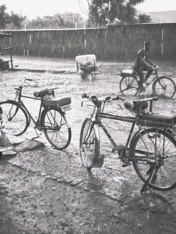
Tropical cyclones have a big impact on rainfall, sometimes causing up to 20% of the yearly rain over land and up to 40% over oceans, depending on the location. Because of this, it’s crucial to accurately measure the rainfall from each past tropical cyclone to better understand their effect on the climate.
We compared the rainfall from tropical cyclones in different observational and reanalysis datasets, focusing on the record-breaking cyclone Freddy (Southern Indian Ocean, 2023).
“Accurately measuring the water from tropical cyclones is crucial for helping stakeholders and policymakers prepare for these impactful events,” says lead author Enrico Scoccimarro. “In our study, we checked how well these datasets represented rainfall from tropical cyclones in the past, with a special focus on Freddy, and also looked for trends related to global warming.”
The study’s findings caution against relying on observational datasets for trend analysis due to potential temporal inconsistencies caused by the introduction of new satellite data over time. Similar caution applies to reanalysis products like ERA5 and MERRA2 when used for long-term trend analysis.
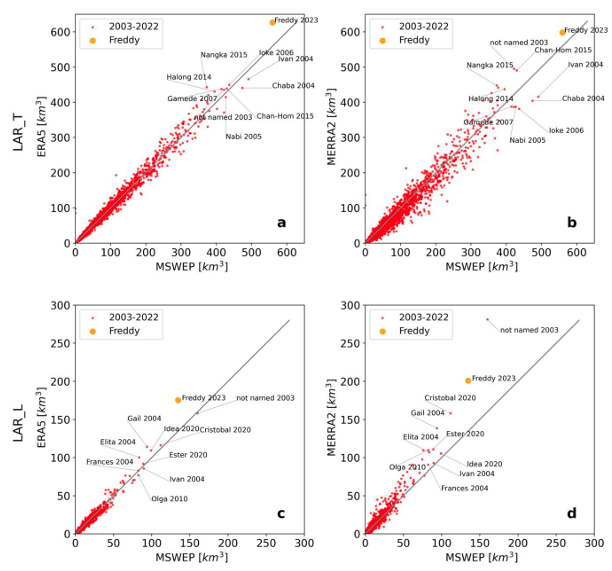
FIGURE: TC rainfall in reanalysis datasets compared to MSWEP. Scatterplots of total lifetime accumulated rainfall (LAR_T) (a), (b) and lifetime accumulated rainfall over land (LAR_L) (c), (d). Multisource dataset MSWEP (x-axis) is compared to reanalysis dataset ERA5 (panels (a), (c)) (and MERRA2 (panels (b), (d)) (y-axis). The period considered is 2003–2022, with the addition of TC Freddy (2023). Orange dot refers to TC Freddy values. Units are [km3]. Labeled dots in plots (a) and (b) refer to the ten highest LAR_T in the period, considering the mean between ERA5 and MSWEP. Same for (c) and (d), but for LAR_L.
Highlighting a starting point for future efforts to enhance the representation of tropical cyclone-related precipitation through AI-driven methods, the study underscores the limitations of observational and reanalysis data in capturing historical trends in extreme events.
“This suggests that climate models, which evolve based on physical laws alone, may provide a more reliable tool than observational data for understanding historical trends in extreme events such as tropical cyclones and their associated precipitation,” notes Enrico Scoccimarro. “Furthermore, our work provides the first detailed characterization of the record-breaking tropical cyclone Freddy, including its associated precipitation, within the historical dataset of cyclones since 1980, particularly those making landfall.”
Enrico Scoccimarro, Paolo Lanteri and Leone Cavicchia; 2024; Environ. Res. Lett. 19 064013; DOI 10.1088/1748-9326/ad44b5